
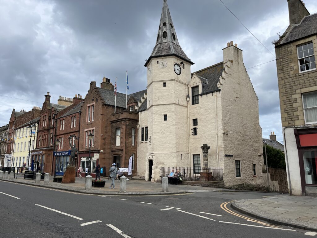
We have been using an alternative to the otherwise time consuming and intesnive / expensive public life surveys for street infrastructure surveys. We’ve used local knowledge and the project team to update the local Open Street Map database, so it is immediately available to everyone.
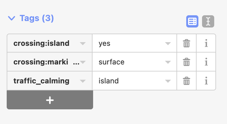
Map data for OpenStreetMap can be collected by members of the public using ground survey and personal knowledge (aided by GPS) or by digitizing from publicly available imagery e.g. imported from a government source or opensource dataset.
Volunteers can use a smart phone or just a notebook. Apps make it easy for anybody to survey their neighbourhood. The data is then entered into the OpenStreetMap database using any number of tools. These days adding information directly into the OSM website is very easy from a desk or laptop.
Some committed contributors adopt the task of mapping whole towns and cities, or organising mapping parties to gather the support of others to complete a map area. However a large number of users simply contribute small corrections or make selective contributions to the map.
You must be logged in to post a comment.