

The following presentation helps to paint a picture of how people walk, run and ride locally. The heatmap is created using publicly available data supplied by Strava, an activity app used the world over by millions.
For us it is interesting as it has the potential to provide useful information about current behaviors, the modal split and desire line discovery. In theory it opens up the capability to monitor change over time. The data can show walk and bike trips which single location static counters cannot capture easily or economically at scale. It would be interesting to create a monthly time series for selected areas.
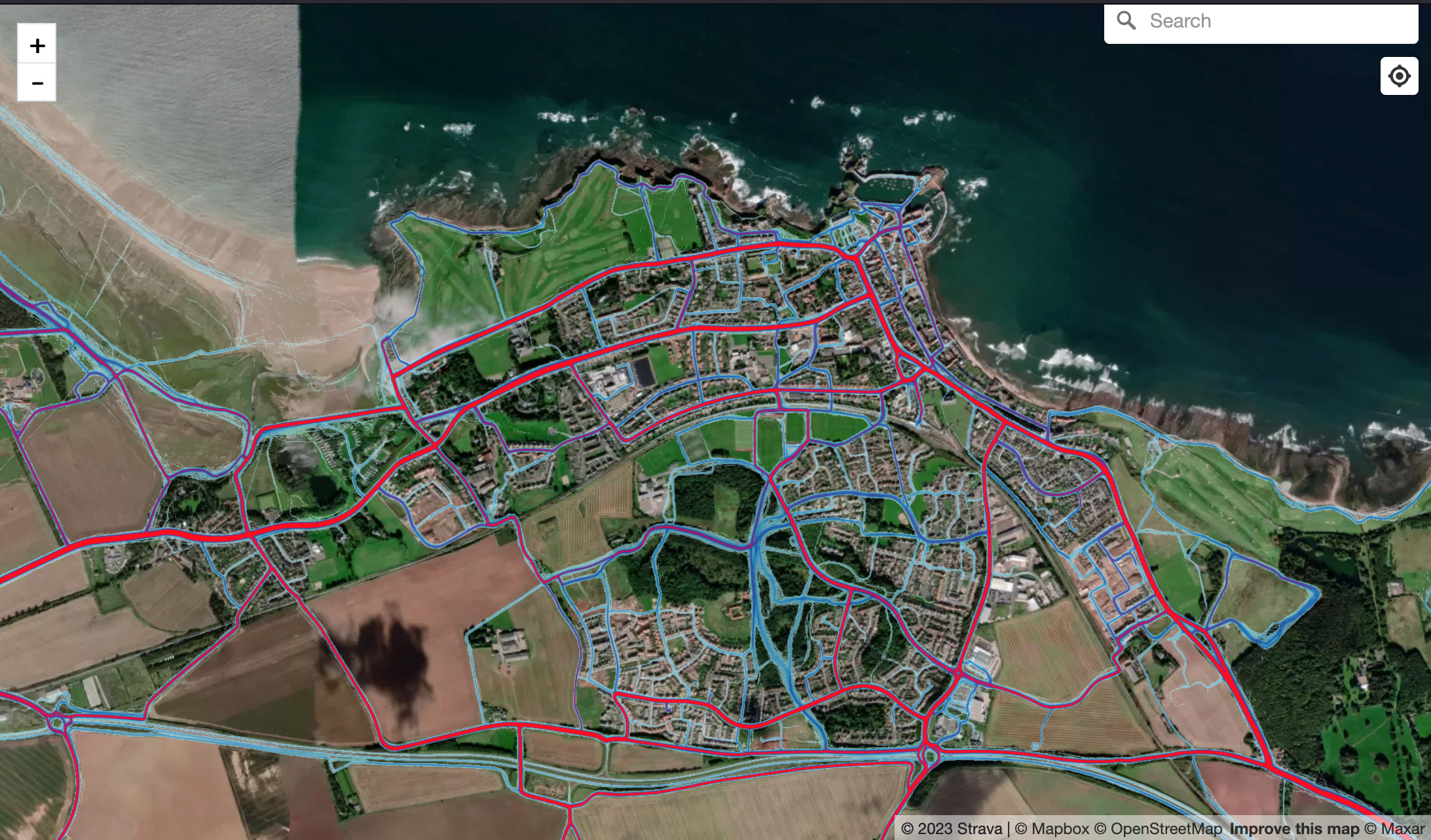
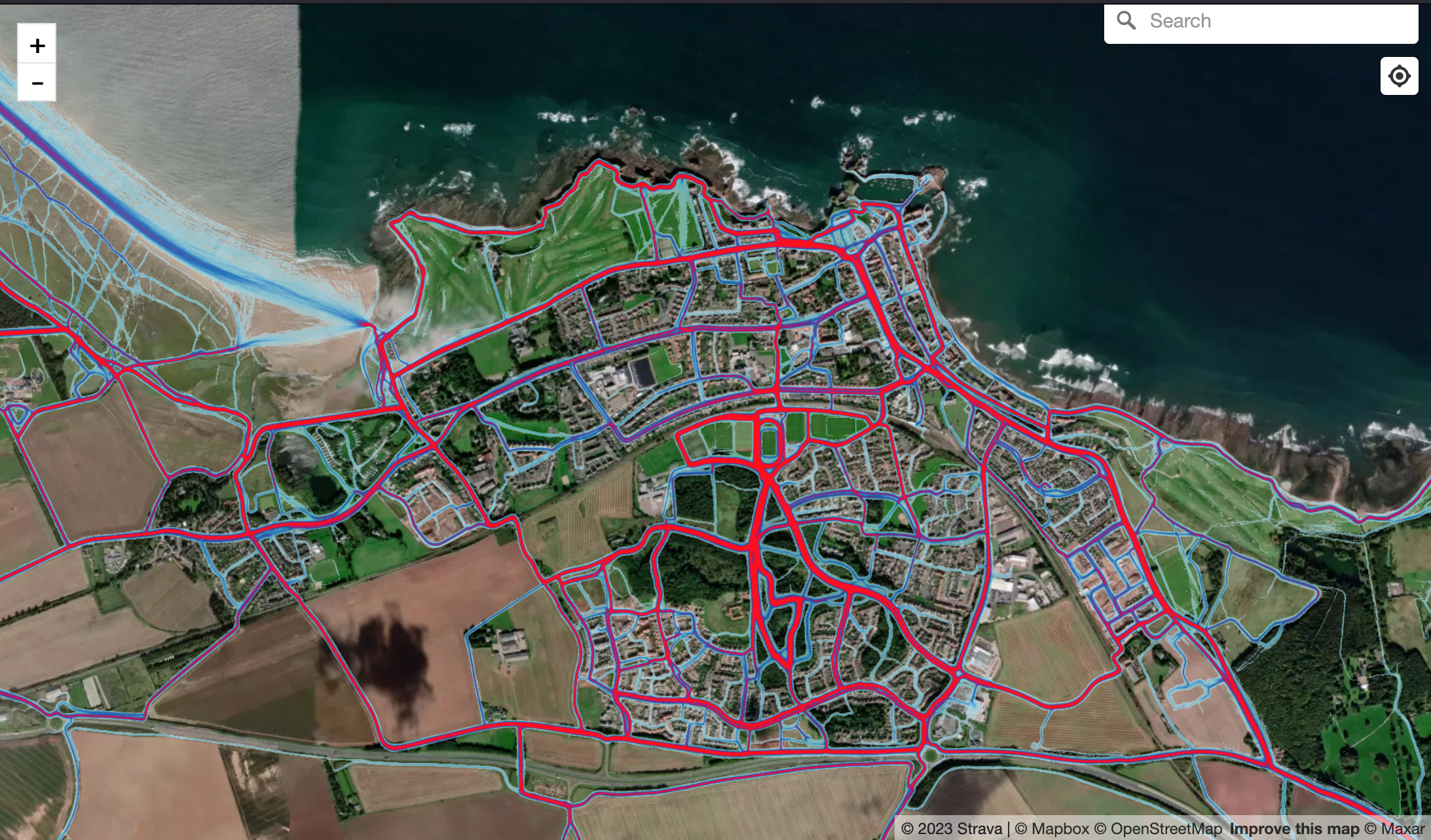
The presentation above also shows that substantial areas of land are no go, due to land ownership and use.